
Kenali kami lebih lanjut
Tentang Kemujan
Pelabuhan Legon Bajak


Kemujan Village sits within the Karimunjawa archipelago, surrounded by shallow seas, mangrove forests, and settlements shaped by maritime tradition. Here, tourism isn't something that comes from outside — it's run by the villagers themselves, from lodging and boats to tour guides.
We made this page so anyone can get to know Kemujan before visiting: what the village is like, what there is to explore, and how we keep it worth visiting for generations to come.
Explore Tourism
Village Gallery
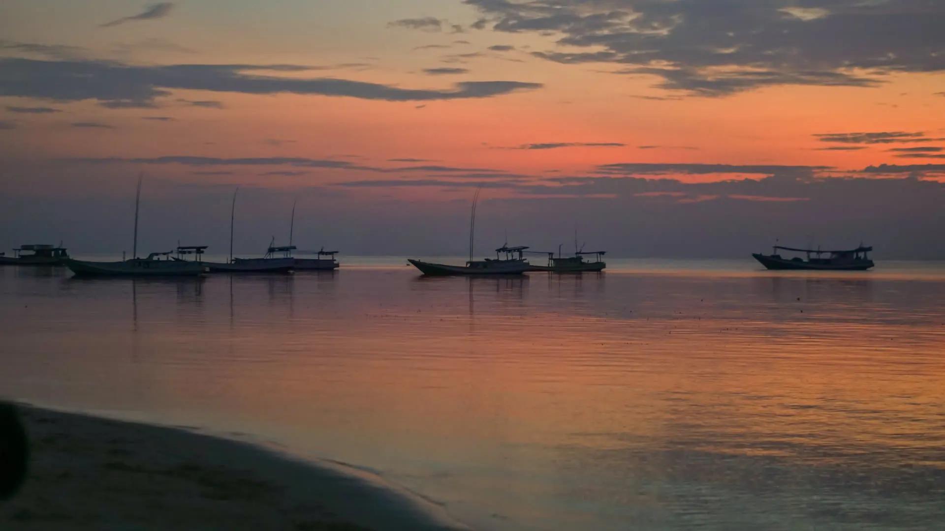
A glimpse of Kemujan — the coastline, the pier, and the spots guests visit most.


Village Data
Basic figures about Kemujan, so you get a sense of the village's scale before visiting.
Kemujan is one of the villages in the Karimunjawa Islands, with a territory made up mostly of waters, mangroves, and coastline.
- ethnic groups
- km²
- m coastline
- people
Kemujan's territory stretches along the coastline, so nearly every tourist spot can be reached via a short land route connected by boat.
If you'd like to plan your own route before heading out, the village map alongside can be opened directly in Google Maps.
Google MapsHelp us protect the coastline
The coastline in Kemujan Village is experiencing abrasion — our beaches are at risk of disappearing.
Contribute by sharing our abrasion map to raise awareness about coastal erosion, and help us keep our beaches clean.
View map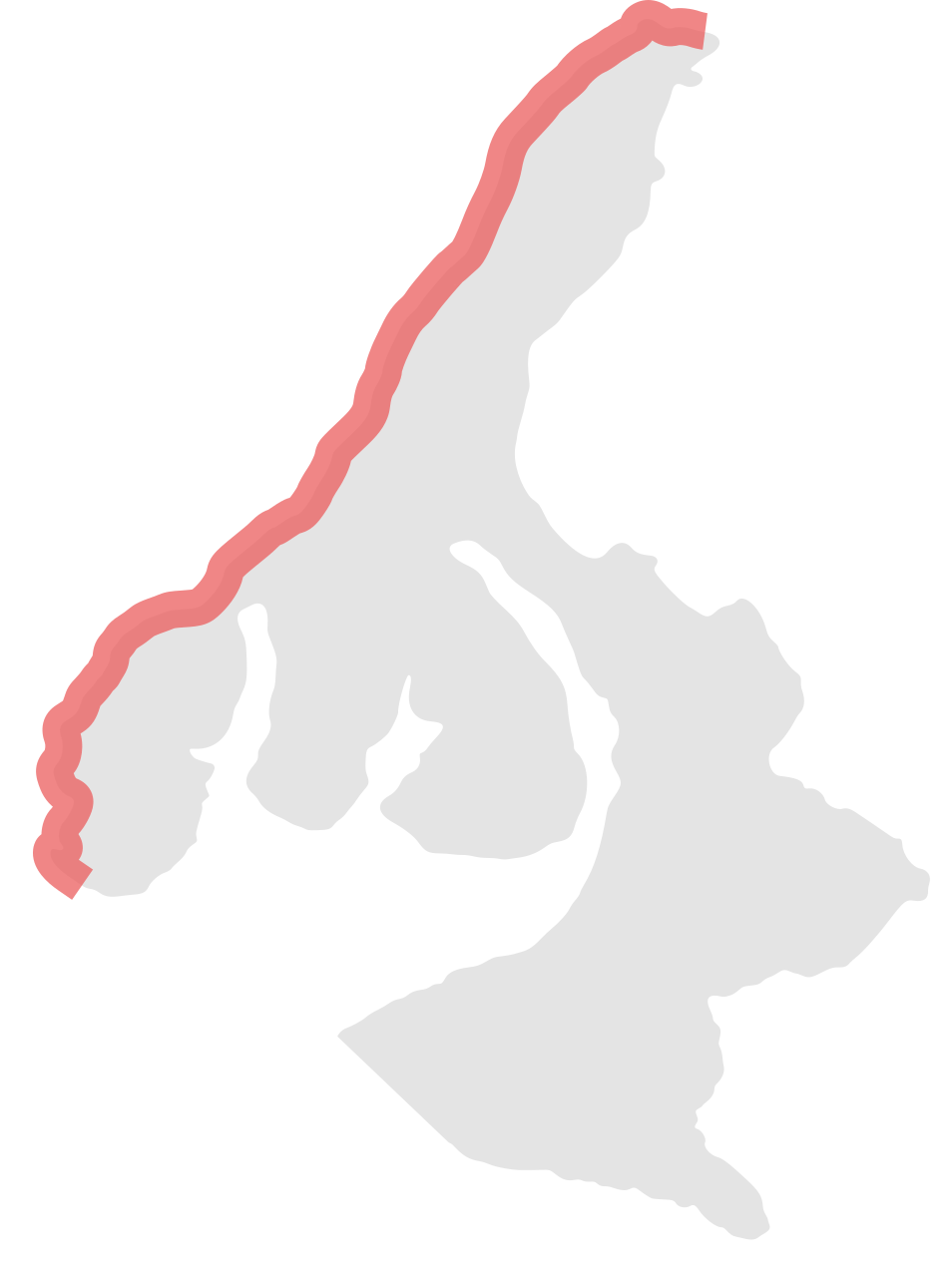
Your contribution will help push authorities to take action, such as installing breakwaters
-3m/year abrasion rate *
contact